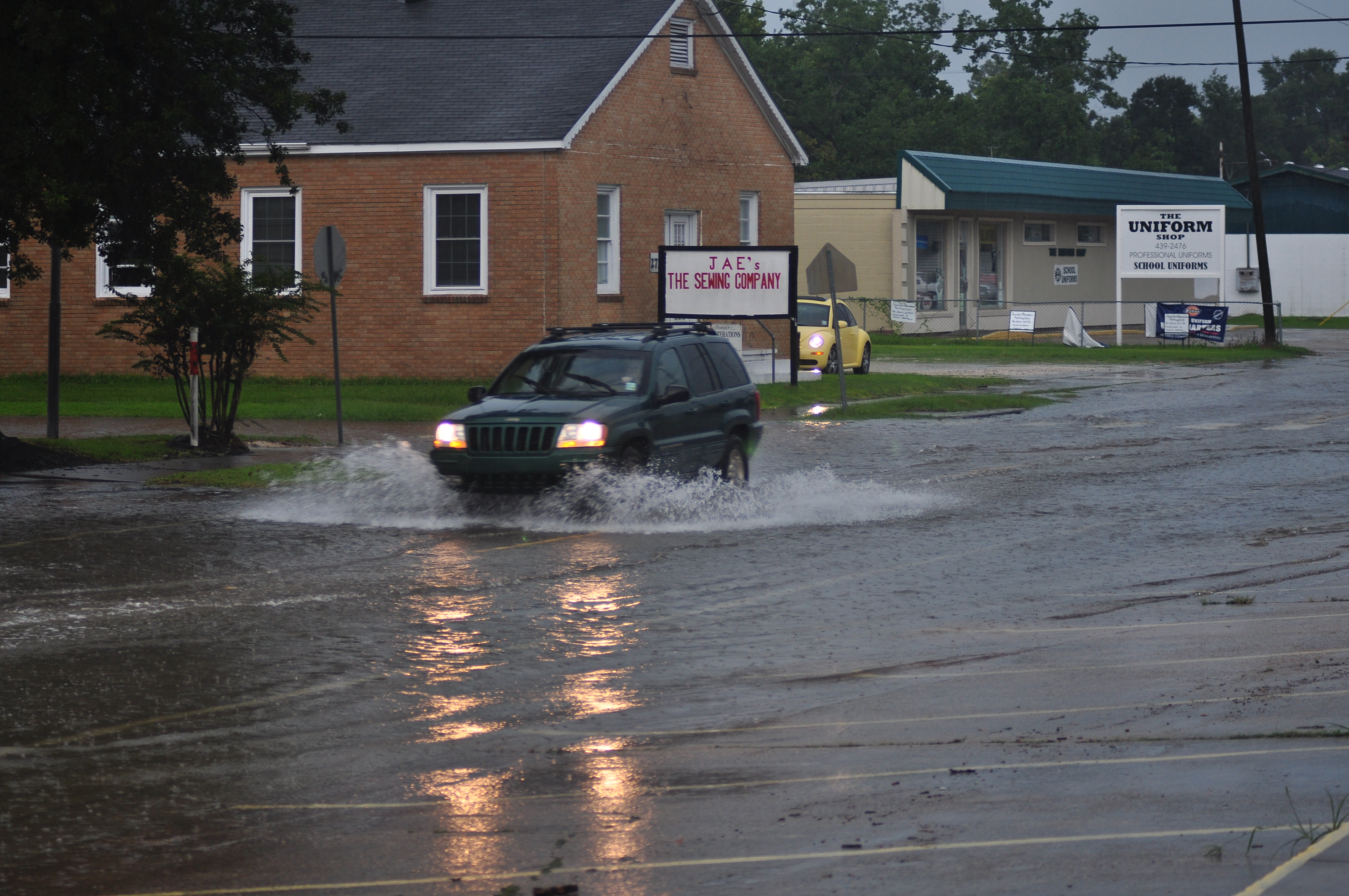
4 U.S. Geo Areas Most Prone to Flooding (and What Homeowners Should Do)
FloodingFlooding is the overflow or accumulation of water in areas t... More can happen anywhere, but it’s most common in urbanized metros, the Northeast–Midwest river basins, the Desert Southwest, and coastal zones. Use FEMA flood maps to check your exact property risk, and remember: just one inch of water can cause around $25,000 in damage and standard homeowners insurance typically doesn’t cover flood.
Summer is a prime season for floodingFlooding is the overflow or accumulation of water in areas t... More in the US. The warmer months and those extending into fall are when flash flooding, coastal floodingFlooding is the overflow or accumulation of water in areas t... More and river floodingFlooding is the overflow or accumulation of water in areas t... More occur most often. But in the US, floods are most common in particular geographic regions.
Destructive floodingFlooding is the overflow or accumulation of water in areas t... More happens regularly in the US, as often as hundreds of times per year. Approximately 75,000 Americans are driven from their homes each year as a result of floodingFlooding is the overflow or accumulation of water in areas t... More.
Key facts homeowners ask about
1. How deadly/costly is flooding?
In the U.S., the long-term average is ~127 flood deaths/year (many in vehicles).
2. How high can sudden flood waves get?
Flash-flood water can rise 10–30 feet in extreme cases.
3. What about coastal storms?
Major storm tides (surge + tide) can reach 20+ feet in some events.
4. How much damage can “a little” water do?
Around $25K from 1 inch of water.
5. Who must carry flood insurance?
If you have a government-backed mortgage and your home is in a high-risk FEMA zone (A or V), flood insurance is generally mandatory.
How do floods start?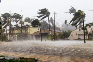
FloodingFlooding is the overflow or accumulation of water in areas t... More happens when vegetation or soil are unable to absorb heavy rainfall or melting snow. Excessive amounts of water may also run off the land without being diverted into stream channels, natural ponds, or manmade reservoirs. Floods can occur over the course of hours or days.
Flash floods, that result from intense rainfall, can occur within seconds or minutes. The force of flash floods is powerful enough to shift boulders, rip out trees, destroy buildings and bridges, and scour out new channels. Flash flood waves can reach impressive heights of 10 to 20 feet.
Coastal areas experience storm floods, which are a result of low atmospheric pressure, high tides, and severe onshore winds. Hurricanes and tropical storms are known to cause storm surges. Waters from storm floods can rise up to seven meters in depth.
Dam and levee failures also cause floodingFlooding is the overflow or accumulation of water in areas t... More. These structures are built on waterways that are likely to flood, such as once every 250 years. Floods that are more powerful than expected will cause the dam to fail. The intense energy from the burst of floodwater is highly destructive.
Due to the pervasive nature of floodingFlooding is the overflow or accumulation of water in areas t... More, every part of the US is susceptible to floodingFlooding is the overflow or accumulation of water in areas t... More at some point. Despite this, certain areas of the country have a greater flood risk than others. A FEMA flood map (found on the FEMA website) best illustrates the high-risk areas.
The 4 Geo Areas with Highest Flood Frequency
1. Urban Areas (Metro & Suburban)
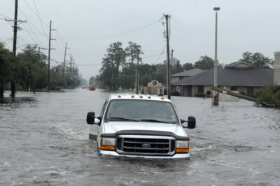
Lake Charles, La., residents brave the high flood waters caused by Hurricane Ike Sept. 13 in order to make damage assessments to their homes. (U.S. Air Force Photo/Staff Sgt. Bennie J. Davis III)
Since urban locales are built with more pavement than rural areas, they are more prone to floodingFlooding is the overflow or accumulation of water in areas t... More. Metro areas, like Chicago, Atlanta, and Detroit, have a higher concentration of flood events in comparison to their rural surroundings. Dallas and Fort Worth also have a large number of flood reports.
Urban areas lack the natural drainage systems necessary to sustain flash floods without being overwhelmed. Surface conditions also affect the impact of flash floods. The high amounts of impervious surfaces, like concrete and tarmac, tend to increase the rate of runoffRunoff is water from rain or other sources that flows over s... More into water systems.
Homeowner moves (urban):
- Install/check backwater (backflow) valves; keep gutters, area drains, and swales clear
- Add permeable hardscapes; create rain gardens or cisterns to slow runoffRunoff is water from rain or other sources that flows over s... More
- Verify your base-flood elevation vs. finished-floor; consider flood vents in enclosed areas (where code allows)
2. Northeast & Midwest (River Basins)
The geographic areas stretching from the Northeast to the Midwest also report a large number of flood events. Springtime river floodingFlooding is the overflow or accumulation of water in areas t... More is common in these regions due to the combination of snowmelt and rainfall. River floodingFlooding is the overflow or accumulation of water in areas t... More occurs frequently near the Red River counties between Minnesota and North Dakota.
In the East are the Appalachians. Its hilly terrain plays a large role in the likelihood of floodingFlooding is the overflow or accumulation of water in areas t... More in the vicinity. Midwest summers are fraught with flash floodingFlooding is the overflow or accumulation of water in areas t... More due to large thunderstorm clusters, known as the Mesoscale Convective Systems, that dump heavy rain in the region.
Homeowner moves (riverine):
- Know the FEMA zone for your parcel and your community’s BFE
- Elevate utilities; store valuables above projected flood levels
- Consider flood insurance even in “moderate/low-risk” zones—25% of claims occur outside high-risk areas (industry pattern)
3. Desert Southwest
Despite its dry conditions, the Desert Southwest is prone to floodingFlooding is the overflow or accumulation of water in areas t... More. A part of the reason for floodingFlooding is the overflow or accumulation of water in areas t... More here is its large geographic footprint. Spanning over thousands of square miles, the area is subject to frequent flash floods in the summer. Rainfall fills rivers, creeks, and streams, producing high water.
Homeowner moves (desert/monsoon):
- Avoid driving across moving water (“Turn Around, Don’t Drown”)
- Grade lots to direct flow away from structures; maintain culverts and roadside ditches
- Use quick-deploy flood barriers (water-filled or reusable) where flow concentrates
4. Coastal Areas (Gulf, Atlantic, Pacific)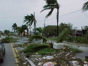
Storms along the coast can send water inland, leading to massive floodingFlooding is the overflow or accumulation of water in areas t... More. High tides and onshore winds from storms, atmospheric pressure gradients or rainfall are responsible for unleashing intimidating levels of floodwaters. Metro areas, like Tampa and Charleston, often report numerous flood events.
Every area in the US has the potential to flood. The difference lies in whether a specific area has a high risk, low risk or moderate risk for floodingFlooding is the overflow or accumulation of water in areas t... More. Communities are labeled with flood zones that indicate its likelihood of floodingFlooding is the overflow or accumulation of water in areas t... More. FEMA provides flood maps that are based on addresses.
The FEMA flood map is important in determining an area’s risk for floodingFlooding is the overflow or accumulation of water in areas t... More. Whether or not a geographic area has a high risk for floodingFlooding is the overflow or accumulation of water in areas t... More impacts flood insurance premiums. Properties in high-risk zones that are backed with federal mortgages are required to have flood insurance.
FloodingFlooding is the overflow or accumulation of water in areas t... More can cause serious damage to a property. Just one inch of floodwater can cost $25,000 in damages. Purchasing flood insurance from the National Flood Insurance Program well before a flood hits will make a huge difference between recovery and a devastating financial loss.
High-risk properties may experience floodingFlooding is the overflow or accumulation of water in areas t... More only once in a 30-year mortgage, but keep in mind that floodingFlooding is the overflow or accumulation of water in areas t... More can occur as a result of nature as well as manmade causes. Poor drainage systems, neighborhood construction and broken water mains can leadLead is a heavy metal that can be toxic to humans, especiall... More to floodingFlooding is the overflow or accumulation of water in areas t... More.
Homeowner moves (coastal):
- Know your Evacuation Zone and surge maps; plan vehicles/meds/documents in advance
- Elevate mechanicals above expected surge; install flood-resistant materials on lower levels
- Carry NFIP or private flood insurance; standard homeowners policies typically exclude flood damage.
How to check your property’s flood risk (fast)
- Look up your address on FEMA Flood Maps to see if you’re in a Special Flood Hazard Area (A or V). These zones have a ≥1% annual chance (aka the “100-year flood”), roughly 1 in 4 chance over a 30-year mortgage.
- If you have a government-backed mortgage in a high-risk zone, flood insurance is generally required.
- Consider coverage even outside high-risk zones due to changing rainfall patterns and localized drainage issues.
What to do during a flash-flood warning
- Move to higher ground immediately, don’t wait for instructions.
- Never drive through floodwater; many fatalities occur in vehicles.
- Keep your phone, battery pack, and a small go-kit ready (IDs, meds, pet needs).
Tampa & Fort Myers homeowners: special notes
- Gulf storms can push surge into bays, estuaries, and low-lying neighborhoods; even “sunny-day” high tides can stress drainage.
- Check both storm surge exposure and riverine/urban models; back-bay and canal-front homes should elevate utilities and use flood-resistant finishes on lower levels.
Flooding FAQs
Is flood season “summer only”?
No. Summer and early fall see many U.S. floods (monsoon, tropical systems), but spring snowmelt + rain drive big river floods in the Northeast/Midwest, and coastal events can happen with any strong storm.
Does homeowners insurance cover flood?
Typically no. Flood is excluded; you need NFIP or private flood coverage.
How bad can a flash flood get near me?
Even in cities, fast-rising water can overtop streets and underpasses, sometimes 10–30 ft in canyons/steep terrain. Don’t attempt to cross.
How much damage can a “little” water cause?
About $25,000 from one inch in a typical home.
Who must buy flood insurance?
Homes in FEMA A/V zones with government-backed mortgages generally must carry flood insurance. Others should strongly consider it.
Simple homeowner flood prep checklist (save this)
- Photograph valuables & key rooms before storm season
- Clean gutters, swales, and curb inlets; verify sump/backflow devices
- Elevate HVAC, water heater, and electrical where feasible
- Keep sandless barriers or sacks on hand for doorways/garage thresholds
- Store vital docs in a waterproof container; create a cloud backup
If your home floods
- Stay safe (utilities off if advised; avoid live power).
- Document everything (photos/video) before removal.
- Extract water & dry fast (within 24–48 hours to reduce moldMold is a type of fungus that grows in damp or humid conditi... More).
- Call a licensed restoration pro for structural dryingDrying is the process of removing moisture from materials, s... More and moisture mapping.
- File your claim promptly with NFIP/private insurer.
Flood RestorationRestoration is the process of returning a property to its pr... More
Flood damage, no matter what the cause, is costly to repairRepair is the act of fixing or restoring damaged property, m... More. Water can seep into porousPorous describes a material that contains small openings or ... More materials, like drywall, furnishings, flooring, insulationInsulation is a material used in buildings to reduce the tra... More, and wood, and do significant damage. As a result, a water-logged property is unsafe to inhabit—until it undergoes flood restorationRestoration is the process of returning a property to its pr... More.
A reputable, local water damage restoration company with a team of experienced technicians who are equipped with the proper skills and professional-grade machinery can return your water damaged home or business to its pre-loss condition quickly.
Certified crews extract all excess moisture from the property, fix the water source and completely dry the premises. They also restore water damaged items. If necessary, they can sanitize and deodorize the property to eliminate waterborne bacteria and noxious odors. MoldMold is a type of fungus that grows in damp or humid conditi... More growth is eliminated.
Water damage spreads rapidly, which is why you need a reliable restorationRestoration is the process of returning a property to its pr... More service to conduct a thorough water damage restorationWater damage restoration is the professional process of clea... More. Professional water damage restoration services are comprehensive, so all your restorationRestoration is the process of returning a property to its pr... More needs will be met.
Tampa and Fort Myers Residents
Flooded or worried about rising water? We’re local to the Gulf Coast. Call now for 24/7 water extraction, structural drying, and mold prevention. We can also help you document damage for your claim.

