


How are Floods Measured?

What Causes Floods?
Floods can be caused by various natural phenomena, each with the potential to overwhelm drainage systems and inundate areas:
- Heavy Rains
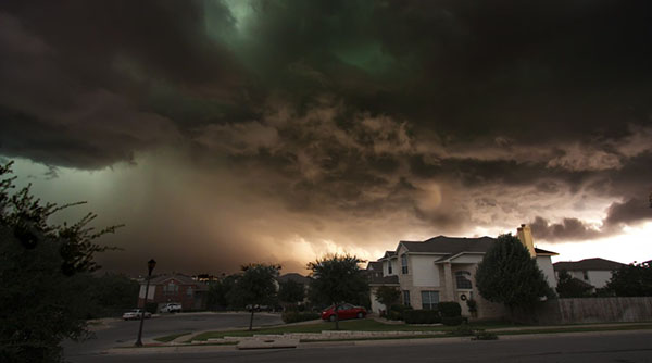
- Storms and Tornadoes
- Snowmelt
- Hurricanes and Tropical Storms
- Ice Dams
- Rise in the River Level

Major Flood Events in the United States
Flooding remains one of the most prevalent and destructive natural disasters in the United States. Here are some key statistics and notable flood events from 2016 to 2024 across various states:
General Flood Impact
- Costly Disasters: Floods are responsible for significant economic damage, often causing billions of dollars in losses each year. Between 2010 and 2019, the National Flood Insurance Program (NFIP) averaged around 71,000 claims annually, nearly double the rate of the 1980s.
- Insurance Payouts: From 1978 to 2022, the NFIP paid out over $75.4 billion in flood insurance claims. Five states—Texas, New York, New Jersey, Louisiana, and Florida—account for over 75% of these payouts, with Louisiana alone receiving $28.9 billion due to significant events like Hurricane Katrina.
Significant Flood Events (2016-2024)
- Hurricane Harvey (2017): This was one of the most devastating floods, primarily affecting Texas. Record rainfall exceeded 60 inches in some areas, causing catastrophic flooding and widespread damage.
- Midwest Flooding (2019): Heavy rain and rapid snowmelt led to historic flooding along the Missouri River. This event affected states like Nebraska, Iowa, and Missouri, resulting in damages exceeding $12 billion.
- Tropical Storm Imelda (2019): Particularly severe in Texas, this storm caused extensive flooding and resulted in over $5 billion in damages.
- Hurricane Ida (2021): This hurricane struck Louisiana and caused severe flooding. The storm led to widespread damage across the Northeastern United States, highlighting the extensive reach and impact of such natural disasters.
How are Floods Measured?
Floods are measured by stream gauges that are installed in bodies of water located near populated areas. They are installed and operated by the United States Geological Survey (USGS), collecting all data before sending it to the National Weather Service (NWS). These gauges are constantly monitoring water levels and sending this data through a satellite or phone telemetry to be analyzed properly.

While there are many different types of stream gauges, one that is most commonly used is called the Automated Local Evaluation in Real-Time (ALERT) and is designed to determine the risk of flooding and distribute warnings in specific areas. If the water level rises dramatically in a specific area, the ALERT gauge sends the warning through a satellite to be analyzed immediately.
Who Sends Flood Warning?
The River and Flood program of the NWS is legally responsible for issuing flood warnings to the community based on the data collected by the USGS. They strive for accuracy when delivering these warnings to notify citizens as early as possible and reduce the risk of flood damage.
When the NWS reports flood warnings, they measure the overall water line of the river, marking specific points as “stages.” While these stages will vary upon normal elevations above sea level of different locations, the measurements are converted into hazard levels if they reach specific elevations. These levels include the pre-flood “action stage,” where the NWS must prepare to send the warning, as well as the minor, moderate, and major “flood stages.”

Frequency of Monitoring Flood Levels
Flood level data is constantly being sent to the NWS by the USGS to inform citizens as early as possible before a flood hits their specified area. During significant weather events like heavy rainfall or snowmelt, monitoring frequencies may increase to hourly or even more frequent intervals to capture rapid changes in river levels. This helps authorities issue timely warnings and take quick action to protect communities from flooding.
Working Together During a Flood
When a flood occurs, both the USGS and NWS work together, exchanging and analyzing updated hydrologic data. The NWS will collect the local precipitation data while the USGS focuses on information derived from the stream gauges. Finally, the data from both organizations is combined to determine the overall risk of flooding.
What Happens During the Risk of Flood
Once the NWS and USGS have identified the potential for a flood to occur, the NWS will send alerts to the local, state, and federal decision-makers. These individuals must then take action in practicing prevention methods to limit as much damage as possible from the floodwaters.
These methods can include flood-proofing, flood-fighting, evacuation orders, or the entire shutdown of specific buildings and the amount of time given to the community to take action.
Metrics Used in Flood Measurement
- Flood Stage: Flood stage refers to the level at which a river or stream begins to overflow its banks and inundate surrounding areas. Different flood stages—minor, moderate, and major—help gauge the severity of potential flooding and its potential impact on communities.
- Peak Stage: Peak flow measures the maximum rate of water discharge during a flood event. It is typically measured in cubic feet per second (cfs) or cubic meters per second (cms) and helps forecasters estimate the intensity and duration of flooding.
- Return Period: The return period, often expressed in years (e.g., 10-year flood, 100-year flood), indicates the average frequency of floods of a specific magnitude occurring at a particular location. This metric helps in assessing flood risks and designing infrastructure to withstand potential flooding.
Why Monitoring Floods is Important?
Understanding how floods are measured isn’t just about data and technology—it’s about protecting lives and property. By accurately predicting floods, communities can:
- Prepare Early: Evacuation plans and warnings can be issued in advance, reducing the risk of harm to residents. People can find shelter and prepare their outdoor events accordingly.
- Mitigate Risks: Infrastructure projects can be designed to withstand flooding, and floodplain management strategies can be implemented to reduce damage.
- Respond effectively: Responding effectively to floods means emergency teams can quickly use resources and help communities. They focus on areas at risk, send rescue teams, and provide supplies where needed most. This fast action saves lives, reduces damage, and supports recovery.
How to React to Flood Warnings

While the NWS and USGS work hard to provide accurate and timely flood warnings, it’s up to you to take action and protect your property from flood damage. In many cases, you can prepare in advance with preventive measures, but in an emergency, your safety must come first. The moment you receive a flood warning and are advised to evacuate, leave your property immediately without hesitation. Here’s what more you should do:
- Have an emergency kit ready with essentials like water, non-perishable food, medications, flashlight, batteries, and important documents.
- Know your evacuation routes, where to meet family members, and where to go if shelters are set up.
- Move important items to higher floors or elevated areas to protect them from floodwaters.
- Shut off gas, electricity, and water mains at the main switches or valves before leaving to prevent damage and hazards.
- Avoid driving through flooded areas.
- Don’t return home until authorities declare it safe. Floodwaters can remain dangerous even after the rain stops.
- Assess your home for any damage once you’re allowed back. Document damage with photos or videos for insurance claims.
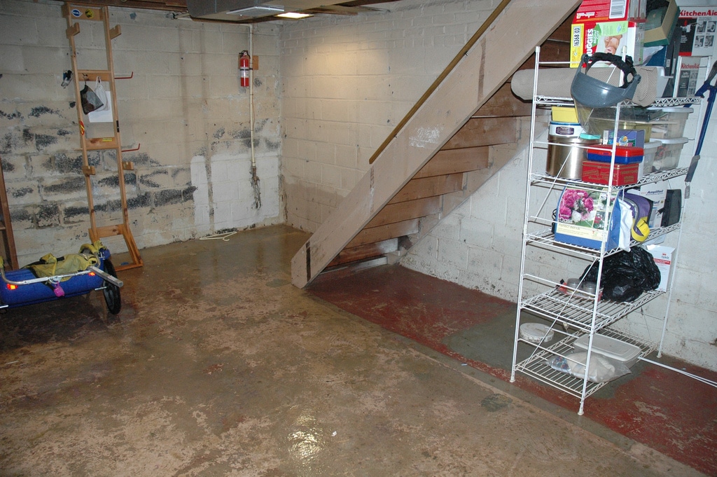
In the event of flood, do not hesitate to contact a water damage restoration expert. These professionals are equipped with the knowledge, experience, and tools needed to address water damage effectively and efficiently. RestorationMaster is your disaster restoration company connecting you with local contractors in your area during a flood emergency.
About Vince Sandri
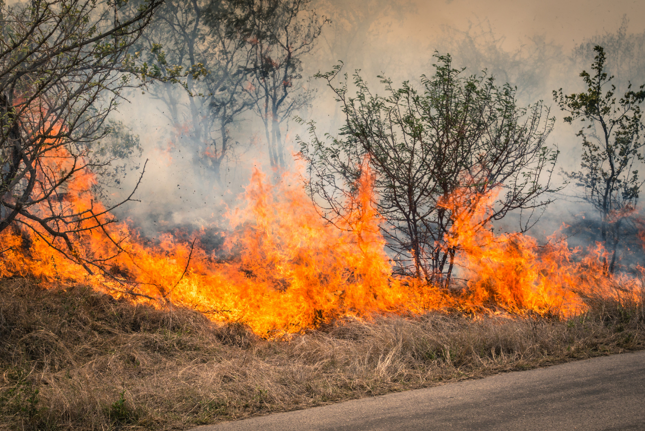
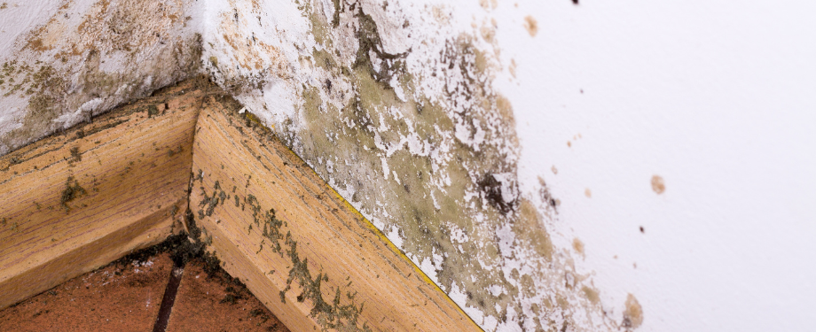
Vince Sandri is a content writer and blogger with more than 12 years of experience. His expertise is in creating content related to disaster restoration, including information about preventing and reacting to natural disasters like flooding, water damage, fire and smoke damage, mold growth, storm damage and more.
Vince has been the main contributor to RestorationMasterFinder.com since 2014. Over that time, he has written numerous service pages and blogs for disaster restoration providers featured on RestorationMasterFinder.com. Vince has done extensive research and covered a wide range of topics relating to disaster restoration to help homeowners, business owners, and property managers better protect their property. He understands the problems that disasters like flooding, fire, smoke, and mold can cause as well as the best ways to respond to these issues to limit the damage.
Vince completed his Bachelor of Arts degree at Aurora University and his master’s degree at DePaul University. He has been writing SEO website pages, blogs, and press releases since 2012. Vince is also a musician and can be seen playing in the Chicago, IL area.